
Second Measurable Snowfall for St. Louis This Winter
Another round of snow is looking increasingly likely for St. Louis on Monday, December 1st.
Benjamin Kotthoff
11/30/20252 min read
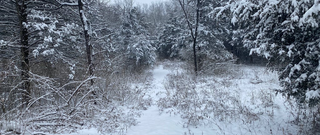
Another round of snow is expected on Monday, December 1st. Unlike the previous snowfall on Saturday, this event has no risk of dry air, so a mixture with rain is of no concern, but moisture will be lacking. The big determiner is where heavier bands decide to set up.
Our next chance for moisture is shaping up to be at the end of the week, likely around Friday. Still a lot of uncertainties on whether or not that moisture will make it to us, or just how cold we will be at the onset of the front.
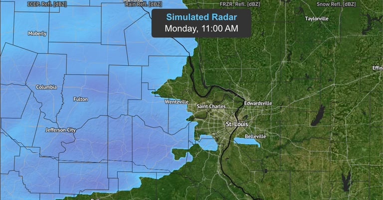
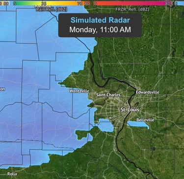
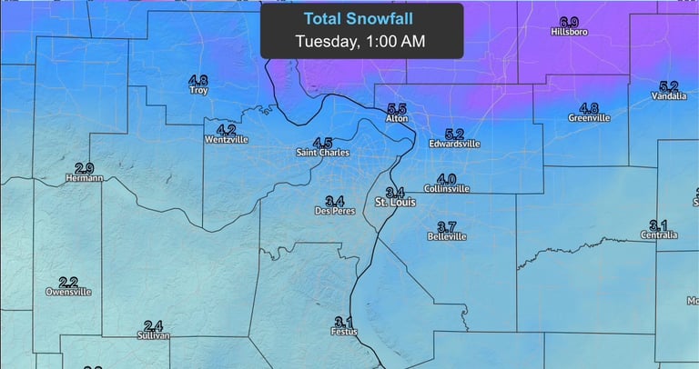
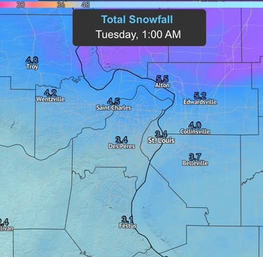
Most of us in the St. Louis area should expect to see an inch or two of snow once all is said and done. Moisture will start further north, likely up in Pike County around noon, and the southern portions of the system will slowly start pushing further east. The exact onset time of snowfall in the St. Louis area is expected around noon; however, if dry air wants to hang on a bit longer, it may be closer to 1. The majority of the snowfall is expected north of St. Louis; however, if a proper band sets itself up in the right place, a few of us could see five or maybe even slightly more inches when all is said and done. Since the atmosphere will be so cold, it will not take much moisture at all to receive accumulating snow. The heaviest of this precipitation is expected after sunset, likely around 8 p.m., but it could be moderate at times before that. The backend of this system should be fully in Illinois a little after midnight, and we should stay dry and cold for the rest of the night, likely with a low around 18 degrees.
Total snowfall amounts are expected to fall in the 2”-4“ range, but locally higher amounts are expected. Travel impacts Monday evening are also expected as there may already be 2' of snow on the ground by 5 p.m.